We are a Garmin authorized dealer, so you get up-to-date, fully warrantied products.
What's Inside:
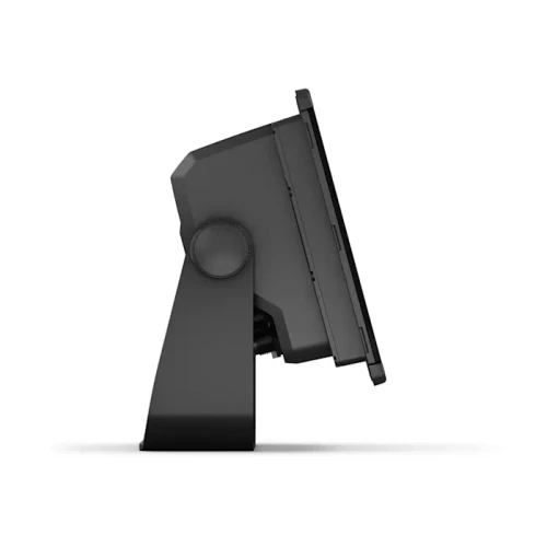
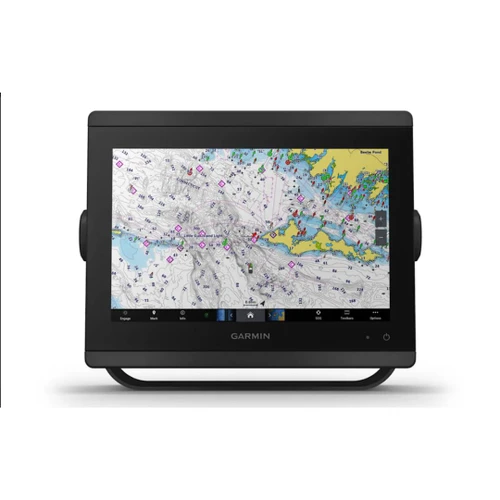
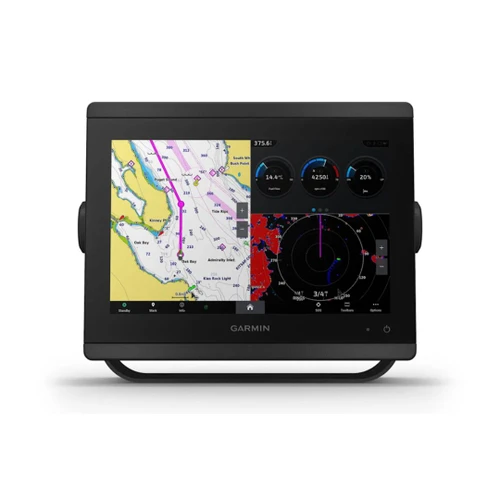
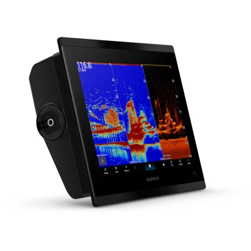
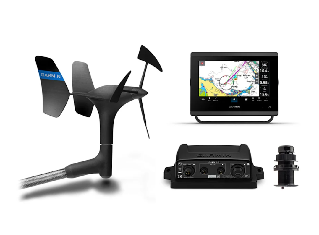
GPSMAP 743 chartplotter
- GPSMAP 743 chartplotter
- microSD™ card preinstalled
- Power cable
- Backbone/drop cable (2 m) and T-connector for the NMEA 2000® Network
- Bail mount kit with knobs
- Flush mount kit with gasket
- Protective cover
- Trim piece snap covers
- Documentation
gWind™ Wired wind transducer
- gWind™ Wired wind transducer
- GND™ 10 black box bridge
- Backbone/drop cable (2 m) and T-connector for the NMEA 2000 Network
- Mast cable with female connector (25 m)
- Field installable mast cable connector
- Mast bracket
- Mounting hardware
- Documentation
SAILING ADVENTURES, SIMPLIFIED
Whether you’re a regatta racer, a coastal cruiser or a casual day sailor, our GPSMAP x3 lineup of touchscreen chartplotters offers you the network integration, wind data and advanced piloting tools to help you sail and navigate with ease. This sleek display make it easy to choose the perfect fit for your budget and helm configuration.
- See Laylines For Quick Tacking Or Jibing Angles
- Get Guidance To Help Hit Race Start Lines Exactly On Time
- Wind Gauge Field Shows Speed, Direction And More
- Sailing Polars Help Plot Optimum Performance
- Steer Assist Targets Most Efficient Course To Sail
- Correct For Boat’S Leeway With Heading And Course-Over-Ground (Cog) Lines
WHAT YOU'LL LOVE
GARMIN SAIL ASSIST™ FEATURES
View laylines, race start line guidance, enhanced wind rose, heading and COG lines, true wind data fields and tide/current/time slider, wind angle, set and drift, wind speed and more.
SAILING POLARS
Use the polar table to see key data, including how fast you should go at a certain wind angle and speed, so you know whether you need to adjust sail trim.
LAYLINES
See visual guides to optimal tacking or jibing angles — green for port, red for starboard. Laylines help you stay on the most efficient course, avoid obstacles and minimize speed loss from unnecessary maneuvers.
WIND ROSE
See true (orange) and apparent (blue) wind angles overlaid on the chart. The 360-degree display gives wind information at a glance, without needing a split screen, so you can stay focused on navigation and hazards.
RACE START
Stay on top of start-line timing and positioning with visual and timer cues. Race start guidance helps manage crowded conditions and countdowns, so you can focus on speed, strategy and avoiding collisions.
MULTICHART ORIENTATION
Sail with one chart in head-up and another in north-up for better situational awareness. This dual view keeps orientation steady during tacks or jibs, making it easier to track your position and avoid hazards.
SAIL & NAVIGATE WITH EASE
DATA FILTERING
Filter wind, depth, speed, polars and more for clearer insights when it matters most.
STEER ASSIST
This feature uses sensor data and the polar table to help you steer on the optimal course.
ROUTE PLANNING
Create routes manually or use Auto Guidance+™ technology1.
TIDE/CURRENT TIME SLIDER
View tidal flow and current direction, then see how conditions will change.
SMARTMODE™ STATION CONTROLS
Quickly load chart overlays, presets and orientations.
TACK AND JIBE SPEED
Control how quickly the autopilot performs maneuvers based on boat type and conditions.
AUTO RESPONSE
Set how aggressively the autopilot responds to heading changes.
MADE FOR YOUR HELM
FASTER, SHARPER, SMARTER
Slimline design fits a wider range of dash configurations.
BRIGHT AND CLEAR OPTICS
High-resolution IPS displays offer improved sunlight readability and visibility.
GARMIN MARINE NETWORK
Share information between multiple compatible Garmin devices.
NMEA 2000® AND NMEA 0183 NETWORKS
Connect to compatible autopilots, digital switching, weather, media and more.
PRELOADED MAPPING
Experience Garmin Navionics+™ integrated coastal and inland mapping with Auto Guidance+ technology1.
OPTIONAL CHARTS AND MAPS
Subscribe to Garmin Navionics Vision+™ charts for high-resolution relief shading and more.
SOFTWARE UPDATES
Get wireless updates via the ActiveCaptain® app with your compatible smartphone or tablet.
ENGINE MONITORING
Keep tabs on engine performance with extensive engine integration.
CUSTOM LOOK
Boat manufacturers can customize the chartplotter’s homepage layout and splash screen.
Engineering enhancements are ongoing and may not be reflected in the pictures, videos and specifications.
| Brand | Garmin |
| General Features | Listed Below |
| Dimension | 7.6" x 5.5" x 2.9" (19.2 x 14.0 x 7.4 cm) |
| Weight | 2.8 lbs (1.3 kg) |
| Water rating | IPX7 |
| Touchscreen | Yes |
| Display Type | WSVGA |
| Display Size | 6.1" x 3.5" |
| Display resolution | 1024 x 600 pixels |
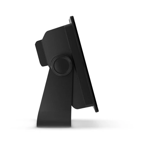
| Mounting Options | Bail, flush or flat (Garmin does not offer any hardware or accessories for a flat-mount installation. Professional tools and knowledge is required.) |
| Input | Touchscreen |
| Maps & Memory | Listed Below |
| Accepts Data Cards | 2 microSD cards (back of unit) |
| Waypoints | 5000 |
| Track points | 50000 |
| Tracks | 50 saved tracks |
| Navigation Routes | 100 |
| Sensors | Listed Below |
| GPS | Yes |
| GLONASS | Yes |
| Galileo | Yes |
| Has built-in receiver | Yes |
| Receiver | 10 Hz |
| NMEA 2000 Compatible | Yes |
| NMEA 0183 Compatible | Yes |
| Supports WAAS | Yes |
| Built-in Maps | Listed Below |
| Built-in Auto Guidance+ | Yes |
| Garmin Navionics+ (inland and coastal) | Yes |
| Tide tables | Yes |
| Optional Map Support | Listed Below |
| Garmin Navionics+ | Yes |
| Garmin Navionics Vision+ | Yes |
| TOPO 100K | Yes |
| Standard mapping | Yes |
| Garmin Quickdraw Contours | Yes |
| Raster chart support | Yes |
| Chartplotter Features | Listed Below |
| Smart Mode Compatible | Yes |
| AIS | Yes |
| DSC | Yes |
| Supports Fusion-Link compatible radios | Yes |
| GSD black box sonar support | Yes |
| GCV black box sonar support | Yes |
| ActiveCaptain® compatible | Yes |
| GRID (Garmin Remote Input Device) compatible | Yes |
| Wireless Remote Compatible | Yes |
| Sailing features | Yes |
| Spoken audio alerts | Yes |
| OneHelm support | Yes |
| Electrical Features | Listed Below |
| Power Input | 10 to 32 Vdc |
| Typical current draw at 12 Vdc | 1.08 A |
| Maximum current draw at 12 Vdc | 1.45 A |
| Maximum power usage at 10 Vdc | 17.6W |
| Sonar Features | Listed Below |
| Displays sonar | Yes |
| Traditional sonar (dual frequency/beam) | yes (with GCV black box, sold separately) |
| ClearVü | yes (with GCV black box, sold separately) |
| SideVü | yes (with GCV black box, sold separately) |
| Panoptix sonar | Yes |
| LiveScope | Yes |
| Networking & Connections | Listed Below |
| NMEA 2000® ports | 1 |
| NMEA 0183 Input (Rx) Ports | 1 |
| NMEA 0183 output (Tx) ports | 1 |
| Video input ports | 1 (BNC composite) |
| J1939 ports | 1 |
| Garmin Marine Network Ports | 1 |
| USB ports | Yes |
| Bluetooth® pairing | Yes |
| ANT® (connectivity) | Yes |
| Garmin Wi-Fi network (local connection) | YesParts Warranty=1 Year |
| Labor Warranty | 1 Year |