We are a Garmin authorized dealer, so you get up-to-date, fully warrantied products.
What's Inside:
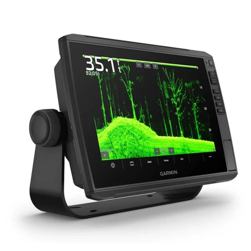
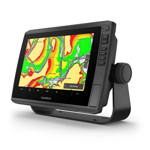
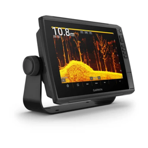
- GPSMAP 9210 premium chartplotter
- Power cable
- Backbone/drop cable (2 meters) and T-connector for the NMEA 2000® Network
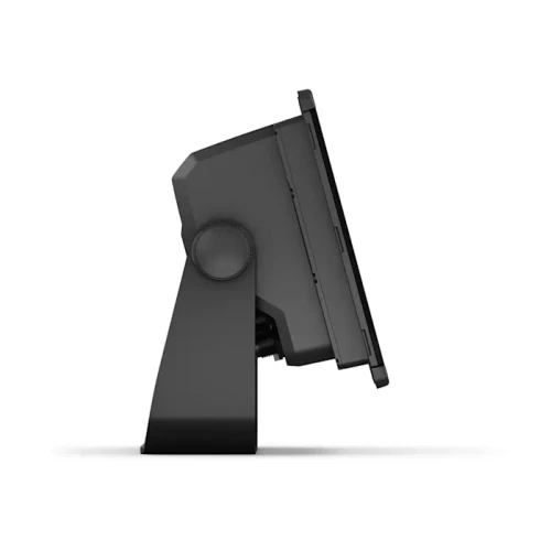
- Bail mount with knobs
- Flush mount kit
- Protective cover
- Trim piece snap covers
- Documentation
General Features:
- From Your Paradise - See Your Charts, View Entertainment And More In Up To 4K Resolution
- Clarity, Control And Luxury At The Helm
- Completely Integrated - Build An Extensive, Top-Of-The-Line Ecosystem
- The Speed You Need - Up To 7 Times Faster Processing Power And Gigabit Speeds On The Garmin Bluenet™ Network
Paradise Starts Here
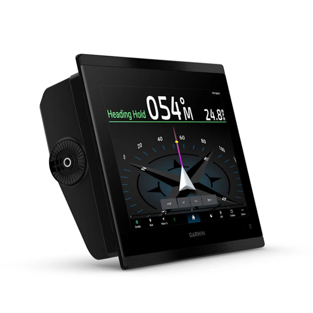
It’s the integrated high-resolution touchscreen chartplotter for captains and anglers who demand the best. Enjoy edge-to-edge clarity and luxury on a glass helm with premium design materials plus our best built-in sonar yet.
- Premium IPS Sunlight-Readable Touchscreen Display
- Up To 7 Times Faster Processing Power Than Previous Generations
- Get Clarity Like Never Before On A High-Resolution Display
- Preloaded Garmin Navionics+ Charts With Auto Guidance+™ Technology
- Gigabit Speeds On The Garmin Bluenet™ Network
- Network With Multiple Chartplotters, Cameras And More
WHAT YOU'LL LOVE
- PREMIUM CHARTPLOTTER
The HD IPS sunlight-readable touchscreen display and edge-to-edge design provide a seamless and luxurious modern look. - FASTER. MUCH FASTER.
Processing power is 7 times faster than previous generations for superior performance; draw charts quickly, and calculate Auto Guidance+ routes with lightning speed with a Garmin Navionics+ subscription. - GARMIN BLUENET NETWORK
Build extensive networks with multiple chartplotters, cameras, radars and sonars — and enjoy gigabit-speed networking. - ENTERTAINMENT OPTIONS
Enjoy audio and video integrations that allow you to show and hear the same video throughout the screens and speakers on your network. - GARMIN SAILASSIST™ SAILING FEATURES AND SAILING POLARS
View laylines, race start line guidance, enhanced wind rose, heading and course-over-ground lines, true wind data fields and tide/current/time slider, and more. Plus the polar table shows key data, so you know whether you need to adjust sail trim. - CONNECT YOUR ECOSYSTEM
Take command through digital system integrations to monitor, automate and control your vessel. The chartplotter uses the NMEA 2000® network to connect to your compatible accessories.
LUXURY ON YOUR HELM
CONNECT
- SOFTWARE UPDATES
Get wireless software updates via the ActiveCaptain® app with your compatible smartphone or tablet. - ENGINE MONITORING
Keep tabs on engine performance with extensive engine integration. - CUSTOM LOOK
Manufacturers can customize the homepage layout and splash screen for a brand tailored experience.
NAVIGATE
- MAPPING
Navigate with optional Garmin Navionics+ charts that include Auto Guidance+ technology, daily updates and more (subscription required) - PREMIUM CHARTS
Get support for Garmin Navionics Vision+™ charts with premium relief shading and satellite imagery. - KNOW WHERE YOU ARE
Get your precise location with the built-in dual-frequency 10 Hz GPS. - AUTOPILOT
Control the autopilot with any compatible chartplotter on the network with autopilot integration.
INTEGRATE
- CONNECT CAMERAS
Get extensive camera support and control to see footage directly on the chartplotter. - CONTROL WITH YOUR WATCH
Connect to your chartplotter with your compatible Garmin smartwatch. - WIRELESS CONNECTIVITY
Connect compatible devices with integrated Bluetooth® and ANT® technologies. - FISH MAPPING
Get comprehensive fishing data with the Fish Mapping™ feature from SiriusXM® Radio (accessory purchase and subscription required). - VERBAL COMMANDS
Use spoken commands to control the chartplotter through your compatible headset or quatix® smartwatch. - WEATHER-RESISTANT
The GPSMAP 9000xsv chartplotter is built for harsh marine conditions with an IPX7 water-resistance rating.
| Brand | Garmin |
| General Features | Listed Below |
| Dimension | 10.24" x 7.87" x 3.54" (26.0 cm x 20 cm x 9.1 cm) |
| Weight | 5.55 lbs (2.52 kg) |
| Water rating | IPX7 |
| Touchscreen | Yes |
| Display Type | WUXGA, IPS |
| Display Size | 8.54" x 5.34" x 10.1" diagonal (21.7 cm x 13.6 cm x 25.6 cm diagonal) |
| Display resolution | 1920 x 1200 pixels |
| Mounting Options | Bail, flat or flush |
| Input | Touchscreen |
| Polarized lens viewability | Yes |
| Maps & Memory | Listed Below |
| Accepts Data Cards | 2 microSD cards (on rear of product) |
| Supports USB card reader | Yes |
| Waypoints | 5000 |
| Track points | 50000 |
| Tracks | 50 saved tracks |
| Navigation Routes | 100 |
| Sensors | Listed Below |
| GPS | Yes |
| GLONASS | Yes |
| Galileo | Yes |
| BeiDou | Yes |
| Has built-in receiver | Yes |
| Receiver | 10 Hz |
| NMEA 2000 Compatible | Yes |
| NMEA 0183 Compatible | Yes |
| Supports WAAS | Yes |
| Supports multi-band, multi-constellation GPS | Yes |
| Built-in Maps | Listed Below |
| Built-in Auto Guidance+ | Yes |
| Garmin Navionics+ (inland and coastal) | Yes |
| Garmin Navionics+ (coastal) | Yes |
| Garmin Navionics+ (inland) | Yes |
| Tide tables | Yes |
| Optional Map Support | Listed Below |
| BlueChart g3 | Yes |
| BlueChart g3 Vision | Yes |
| LakeVü g3 | Yes |
| LakeVü g3 Ultra | Yes |
| Garmin Navionics+ | Yes |
| Garmin Navionics Vision+ | Yes |
| TOPO 100K | Yes |
| Standard mapping | Yes |
| Garmin Quickdraw Contours | Yes |
| Raster chart support | Yes |
| Chartplotter Features | Listed Below |
| Smart Mode Compatible | Yes |
| AIS | Yes |
| DSC | Yes |
| Supports Fusion-Link compatible radios | Yes |
| GCV black box sonar support | Yes |
| ActiveCaptain® compatible | Yes |
| Supports voice commands | Yes |
| GRID (Garmin Remote Input Device) compatible | Yes |
| GRID 20 compatible | Yes |
| Wireless Remote Compatible | Yes |
| Sailing features | Yes |
| Spoken audio alerts | Yes |
| OneHelm support | Yes |
| Electrical Features | Listed Below |
| Power Input | 10 to 32 Vdc |
| Typical current draw at 12 Vdc | 2.43 A |
| Maximum current draw at 12 Vdc | 2.8 A |
| Maximum power usage at 10 Vdc | 29 W |
| Sonar Features | Listed Below |
| Displays sonar | Yes |
| Traditional sonar (dual frequency/beam) | yes (with GCV black box, sold separately) |
| Supports built-in xCHIRP | yes (with compatible black box sonar) |
| Supports built-in RapidReturn | yes (with compatible black box sonar) |
| ClearVü | yes (with compatible black box sonar) |
| SideVü | yes (with compatible black box sonar) |
| Panoptix sonar | Yes |
| LiveScope | Yes |
| Networking & Connections | Listed Below |
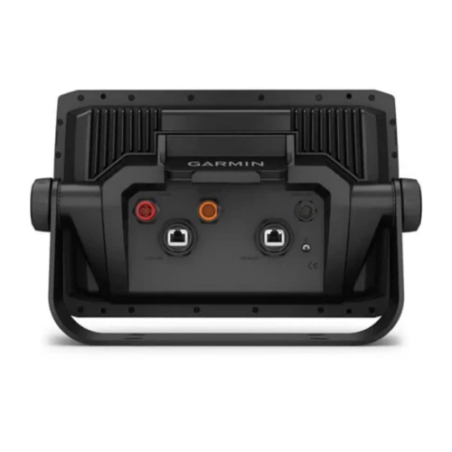
| NMEA 2000® ports | 1 |
| NMEA 0183 Input (Rx) Ports | 1 |
| NMEA 0183 output (Tx) ports | 1 |
| Video input ports | 1 (BNC composite) |
| Video output ports | 1 HDMI |
| J1939 ports | 1 |
| Garmin BlueNet network ports | 2 |
| USB ports | yes (1x USB-C) |
| Bluetooth® pairing | Yes |
| ANT® (connectivity) | Yes |
| Garmin Wi-Fi network (local connection) | Yes |
| Wi-Fi frequency bands | 2.4 GHz & 5 GHz |
| Audio output | Yes |
| Parts Warranty | 1 Year |
| Labor Warranty | 1 Year |